InSAR data services
InSAR data services
- Early identification of hidden trouble spots
- Data Entrustment Processing
- Provision of InSAR remote sensing data
- Personalization
 System Advantages

Abundant remote sensing data
InSAR remote sensing data

Early identification of hidden trouble spots

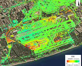
Visualization of patterns of change in the earth's surface

In-depth data analysis services
In-depth analysis services
 Product Features

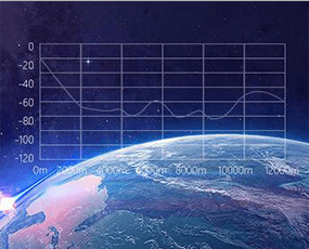

 application scenario

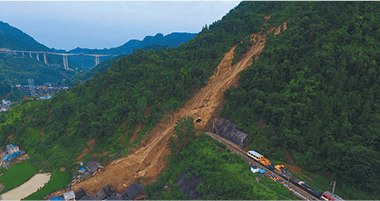
Geohazard area
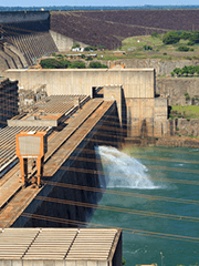
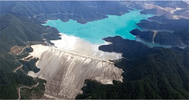
Monitoring of hydraulic engineering facilities

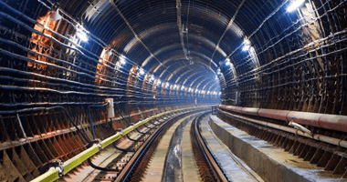
Infrastructure monitoring

Road transportation industry
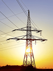
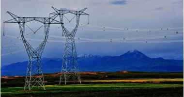
Power sector monitoring
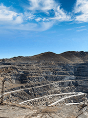
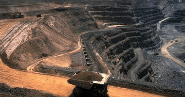
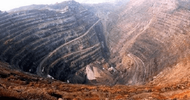
Mine monitoring
 Project Cases
InSAR survey of geologic hazards upstream of Luladi hydropower station
Rudira Hydropower Station is located in the southwest high mountain valley, which is a high susceptibility area for geologic disasters. The loose geology coupled with sudden heavy rainfall often triggers mudslide disasters, which directly threaten the safety of Rudiradi Hydropower Station.
Through the InSAR technology, a year-long data analysis of the topography of the upstream area of Luladi Hydropower Station was carried out, and it was found that obvious subsidence existed in the vicinity of Lower Eagle's Nest, West Sheep Circle House, Niu Shui Tang and Horse Leech, with a total area of more than 14,000 square meters. Through InSAR technology, the risk of geological disasters in the upstream of Luladi Hydropower Station was discovered in time, which provided solid technical support for the safety of Luladi Hydropower Station.


InSAR Census of Road Settlement in Xining City, China
In order to comprehensively understand the road deformation condition in Xining City, using the technology of SBAS-InSAR, it took one week to complete the 74 scenes of sentinel-1A data processing from January 3, 2018 to July 2, 2021, to get the census results of road settlement in Xining City, and to successfully identify some of the urban roads that have hidden dangers. According to the SBAS-InSAR monitoring results, it provides data basis for road safety management in Xining.
InSAR Census of Geologic Hazards in Xining City
In order to comprehensively assess the impact of geohazards in Xining City, a city-wide geohazard survey was completed in one month using InSAR technology. Major geohazardous terrain identification and screening was conducted in the urban area of Xining City around the mountain area, including the Beishan Market, near Xixing Garden, Xining Nanshan, Xining Railway Station, along the Beijing-Tibet Railway, near the Xiehe Expressway and near Xiejiazhai Village. According to the insar census results, Xining City has a number of large areas with excessive deformation and the existence of landslides and other geologic hazards, which timely discovered the danger of geologic hazards in Xining City, and provided a solid technical guarantee for the city's public safety.

 Other solutions

