News Center
News Center
Report on Reunion Building Activities--Concentration and Gathering of Efforts to Build Cobo together
From April 24th to April 25th, 2021, all the staff of the company came to Wuxi, Jiangsu Province to carry out a two-day staff group building activities. The purpose of this activity is to strengthen the company's cultural construction, to improve the staff's team spirit and team awareness, to enhance team cohesion, group building activities can enhance the staff ...
April 26, 2021
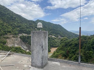
Barrel Fishing Ridge Tailings Pond Dam Safety Monitoring Adds Another "Good Helper"
Fujian Province Dehua County Yangchun Mining Co., Ltd. barrel fishing ridge tailings storage design final accumulation elevation of 779m, the total reservoir capacity of about 8,745,700m³, the effective capacity of 6,122,000m³, the total height of the dam 88m, the design level of the third-class tailings storage. The existing monitoring system of the reservoir has been unable to meet the safety wind of the mine ...
April 26, 2021
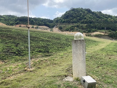
Chenkeng Tailings Storage Intelligent Monitoring and Early Warning System Online
Fujian Markeng Mining Co., Ltd Chenkeng tailings pond is designed to have a final stacking elevation of 625.0m, a total dam height of 205m, a total design capacity of 4781.1×104m³, a catchment area of 3.992Km³, and a design level of second-class tailings pond. The existing monitoring system in the reservoir area has been unable to fully evaluate ...
March 15, 2021
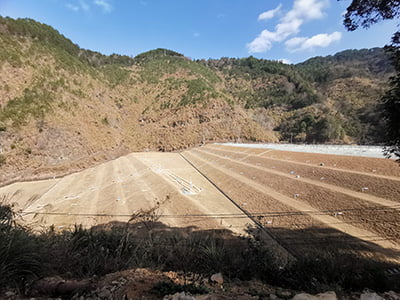
Qiu Cheng tailing pond to realize "online monitoring" full coverage
Dehua County Qucheng Mining Co., Ltd. designed tailings dam total height of 86m (including the initial dam 30m, tailings accumulation dam 56m), forming a total capacity of 5.8 million m³, the design level of the second-class tailings storage. The existing monitoring system in the reservoir area has some aging and damaged sensors, which can't meet the tailings storage intelligent ...
January 25, 2021
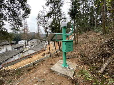
Mount Lushan Scenic Area Geological Hazard Monitoring System Put into Operation
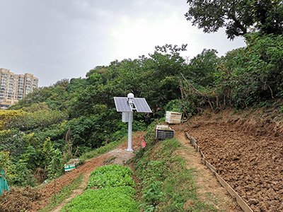
Mount Lushan scenic area of the mountain behind the White Deer Cave Academy loose soil structure, continuous heavy rainfall is very easy to trigger landslides and landslides. Serious threat to the life and property safety of Mount Lu residents and tourists. The company's technical personnel in the White Deer Cave Academy around the disaster risk points installed four monitoring points, for the local flood emergency response to do 24 hours ...
November 19, 2020
Nanjing Gulou District Landslide Geological Hazard Deformation Monitoring Project
Tiger Hill landslide geologic disaster site is located in Gulou District, Nanjing, Baota Bridge Street, Tiger Hill along the eastern slope of Yanjiang Road 142, the geomorphologic pattern of low hills. The slope of the ground surface is steep, more than 30 °, the local slope is steep and straight, and the bedrock on the steep side is exposed. The stratigraphic structure of the area is complex, with gray rock, shale and gravel all ...
September 9, 2020


