Fujian Markeng Mining Co., Ltd Chenkeng Tailings Storage Facility Design Final Pile Elevation625.0mTotal dam height205mTotal designed storage capacity4781.1×104m³Catchment area of reservoir area3.992Km³The design level of the tailing pond is second class. The existing monitoring system in the reservoir area is no longer able to comprehensively assess the safety risk level of the tailing pond, and a more complete and comprehensive integrated monitoring system needs to be established.
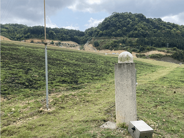
The company's technicians under the leadership of project manager Zhu Fan carried out the construction of the three online monitoring system, a total of construction:33A surface displacement monitoring station was implemented to monitor the stability of the entire dam;6A deep displacement monitoring station was realized to monitor the internal displacement of the dam;19Groundwater level monitoring stations,1A number of beach top elevation and dry beach length monitoring stations have been realized to monitor the dip line of the dam;1A number of reservoir water level monitoring stations have been realized to monitor the safety of water level in the reservoir area;1The rainfall monitoring stations have realized the grid-based meteorological monitoring in the mining area.
Chenkeng Tailings Storage Intelligent Safety Monitoring and Early Warning System integrates advanced technologies such as BeiDou, sensors, big data, cloud computing, etc., and realizes the all-weather collection and intelligent analysis of multi-dimensional information such as the surface displacement of the tailings storage dam body, the internal displacement of the dam body, the infiltration line, the elevation of the top of the beach, the length of the dry beach, and the amount of rainfall. The system realizes regional grid short-term weather forecasting through high-precision water vapor inversion for tailing ponds, tailing pond slope stability calculation and intelligent warning through flood regulation calculation, and comprehensive early warning of Chenkeng tailing pond monitoring data through multi-dimensional heterogeneous information fusion.


